Earth Intelligence from Space. The first integrated Sat‑IoT ecosystem for climate resilience.
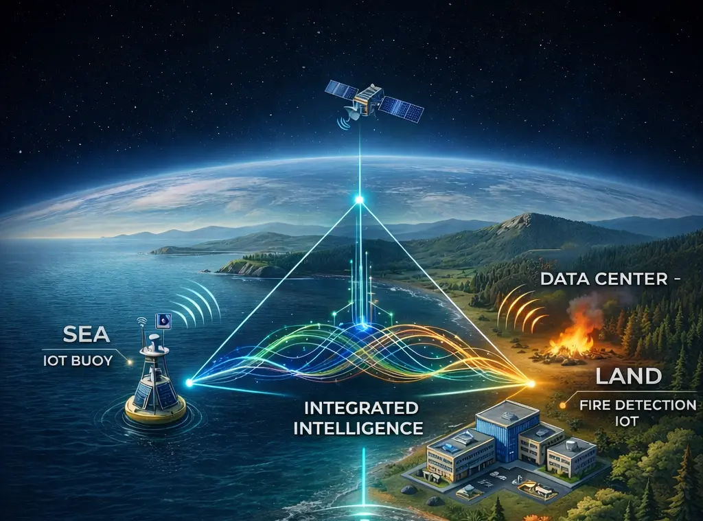
Traditional sensors are blind. We give them eyes in orbit.
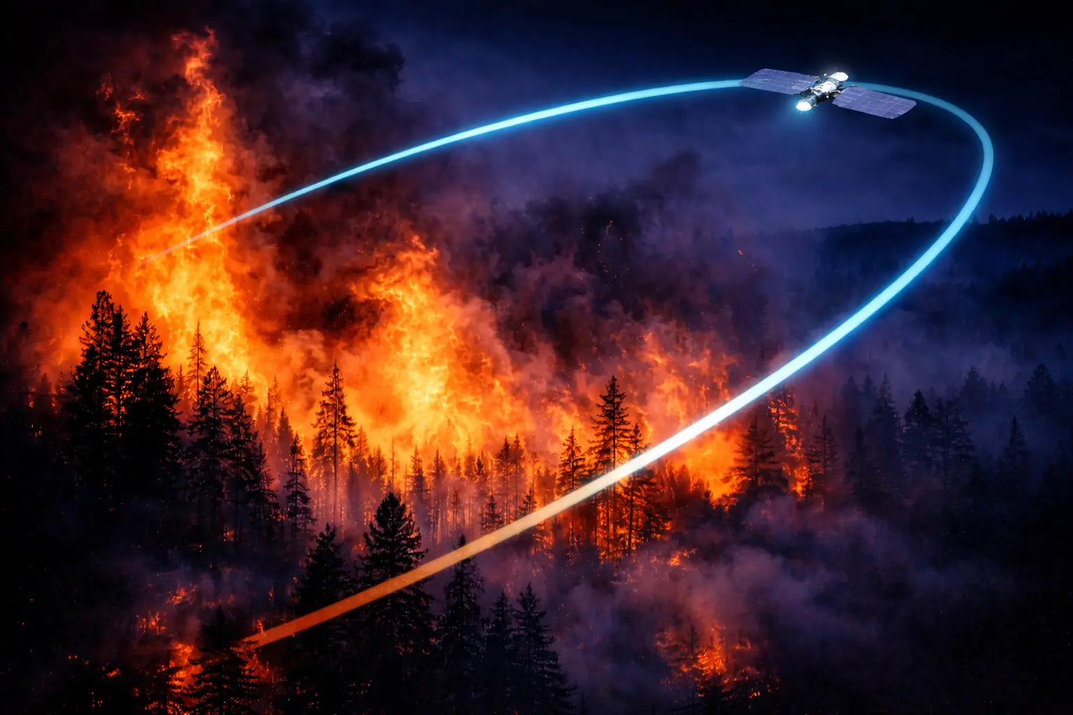
Climate change is amplifying wildfire risk globally. Traditional ground sensors detect fires only after they've spread — we detect thermal anomalies from orbit in real time.
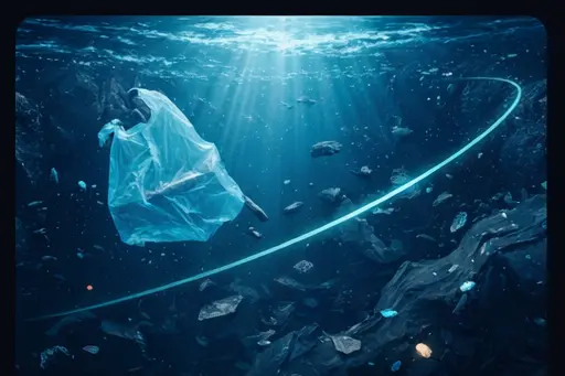
Ocean acidification, temperature anomalies, and pollution require continuous monitoring. Satellites provide the only scalable solution for real‑time planetary ocean intelligence.
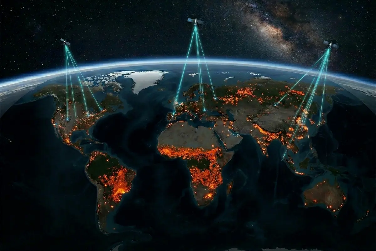
85% of Earth's surface lacks terrestrial connectivity. IoT sensors in remote regions — forests, oceans, arctic zones — are disconnected from the data infrastructure that matters.
Real-time wildfire detection, risk mapping, and alert infrastructure. CRAS tracks fire distribution from the planet's atmosphere and orbit — sub-80-second latency globally.
Direct-to-orbit connectivity bridging the 85% coverage gap. Deploy IoT sensors anywhere on Earth — forests, oceans, polar regions — and receive data in seconds.
Continuous ocean health monitoring from space. Sea surface temperature, chlorophyll anomalies, microplastic drift, and acidification alerts in near real-time.
CRAS combines low-earth-orbit satellite constellations with ruggedized IoT sensor networks, unified under a proprietary edge-AI processing layer. The result: planetary-scale intelligence with near-zero latency.
Multi-plane low-earth-orbit coverage ensuring every point on Earth is within range in under 80 seconds.
Proprietary LPWAN protocol enabling battery-powered sensors to communicate directly with satellites — no ground infrastructure required.
On-board AI models pre-process sensor data in orbit, reducing downlink bandwidth and enabling real-time anomaly detection at the edge.
"Cras" means Tomorrow. We exist to protect the planet's future by reading today's signals from space — empowering governments, researchers, and industry to act before disasters strike.